

Natural Resources
Point Blue provides comprehensive Natural Resource services to our clients in compliance with state and federal regulations. Natural Resource services include projects located in Critical Dune Areas (CDA), High Risk Erosion Areas (HREA), and along Great Lakes Shorelines. We conduct Wetland Identification and Delineation, Bluff and Shoreline Stability Assessments, and Threatened, Endangered and Invasive Species Surveys. We develop Lake and Pond management Plans and assemble EGLE and USACE permit applications.
-

Critical Dune Area
Critical Dune Areas are protected dunes on public and private properties throughout the Michigan Great Lakes coastline. Many activities planned in a Critical Dune Area (CDA) are regulated and require a permit from EGLE. Point Blue biologists can identify if the site is within a regulated CDA and assemble the permit application for developmental, silvicultural, and recreational activities.
-

High Risk Erosion Area
Due to high rates of erosion on the Great Lakes shoreline, High Risk Erosion Areas (HREA) were identified to protect new structures. Developments within a HREA have setback regulations and require a permit from EGLE prior to construction. Point Blue biologists can identify if the site is within a regulated HREA, determine the setbacks, and assemble the permit application for proposed construction following regulatory setbacks.
-

Buildability Assessment
Point Blue biologists conduct buildability assessments on undeveloped parcels along Great Lake shorelines, near wetlands, and properties with regulated slopes and contours. The buildability assessments focus on potential buildable areas within any regulated setbacks or regulated areas. The assessment supports future development while protecting the regulated natural resources.
-

Bluff and Shoreline Stability
Point Blue biologists conduct bluff stability and shoreline erosion assessments. These assessments are conducted on lands with or without existing structures to determine whether the bluff and shoreline are stable. The assessment supports development, real estate due diligence, and natural resource management.
-

Shoreline Protection
Lake Michigan water levels fluctuate annually and have the potential to alter the shoreline. Point Blue biologists assist landowners and contractors with obtaining local, state, and/or federal permits for natural and armored shoreline protection on the Great Lakes and inland lakes.
-

Invasive Species
Invasive plant species alter the natural environment and habitat of native flora and fauna. Point Blue biologists identify invasive plant species, conduct invasive species surveys, and provide recommendations for best management practices for invasive species control.
-
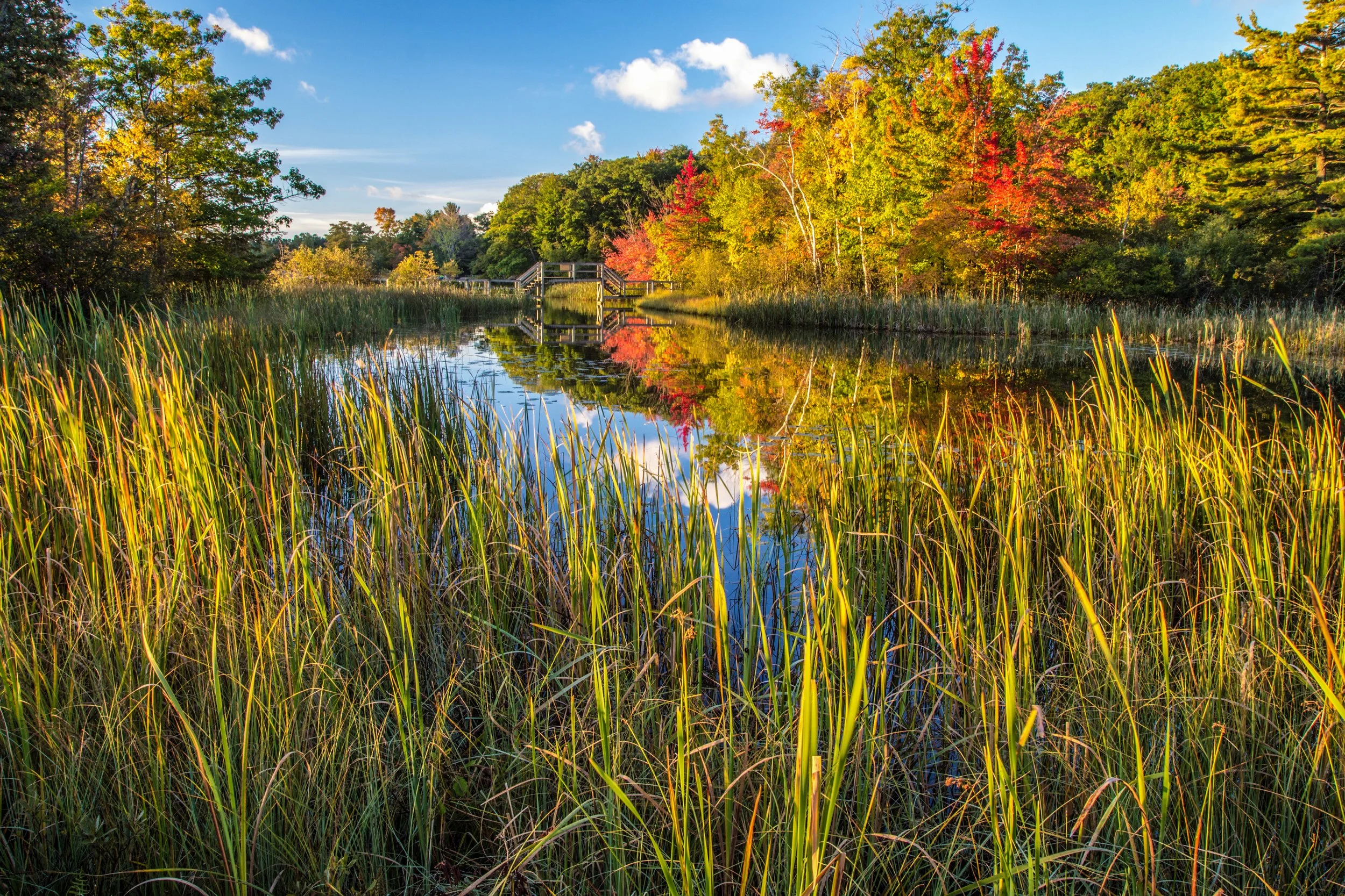
Wetlands
Wetlands may be regulated by local, state, and/or federal agencies based on proximity or connectivity to other waters. Point Blue biologists conduct wetland identification, wetland determination, and wetland delineations. Point Blue assist developers, contractors, and landowners with preparing EGLE and/or USACE permits when there are wetland impacts.
-

Inland Lakes, Ponds & Streams
Point Blue biologists survey and assess the fisheries, aquatic vegetation, and water chemistry; develop lake and pond management plans; and advise scientific decisions that affect the quality and best use of the aquatic resource. Point Blue completes permit applications for shoreline protection, dredging, boardwalks, docks, piers, and platforms on inland lakes and streams.
-

Threatened and Endangered Species
The Department of Natural Resources (DNR) and/or US Fish and Wildlife Service (USFWS) can require a project area to be evaluated for Threatened and Endangered (T&E) species. Point Blue biologists conduct T&E surveys to identify the presence and distribution of Threatened and Endangered plant and animal species. Point Blue biologists have relocated T&E species outside of proposed development areas to protect the species and complete development.